 |
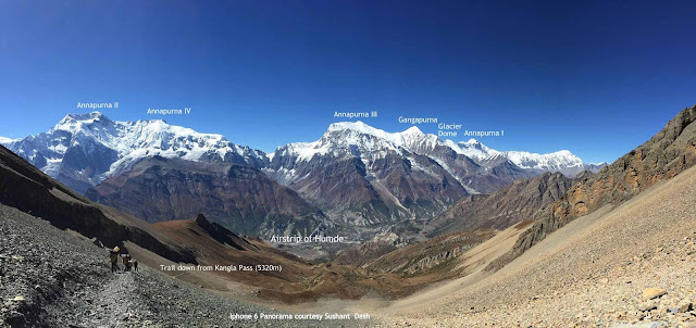
| View of the Annapurnas descending from the Kang La pass |
I had written earlier in my blog about the
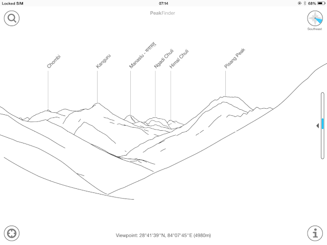
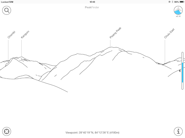
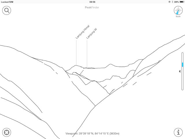
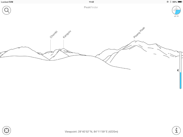
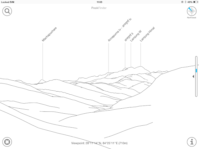
Peakfinder app which downloaded onto a phone allows you to identify the mountains from a database which you need to download. You dont need to be connected to the internet to use this app.
This year in October I used the Peakfinder app quite extensively on a
South Col Trek to the Nar Phu valleys of Nepal and across the Kang la pass. The screenshots below give the names of the peaks as well as the location and altitude. I plan to do this from now on for all the treks we do so that a good database is available for future trekkers.
For my blog posts on Nar Phu do visit
http://www.sujoyrdas.blogspot.com/2015/12/the-nar-phu-valleys-of-nepal-i.html
and
http://www.sujoyrdas.blogspot.com/2015/12/the-nar-phu-valleys-of-nepal-ii.html
 |
| On the descent from Kangla pass - more peaks come into view |
 |
| From near an emerald lake 30 min below Kangla pass |
 |
| Approaching Nar village |
 |
| Kangla Pass |
 |
| From Kangla Phedi below the pass |
 |
| From Koto Qupar - the start of the trek |
 |
| From Kyang |
 |
| From Meta on the second day |
 |
| From Nar Village |
 |
| Near Besisahar |
 |
| From Ngawal on the Annapurna circuit |


No comments:
Post a Comment